
Imago
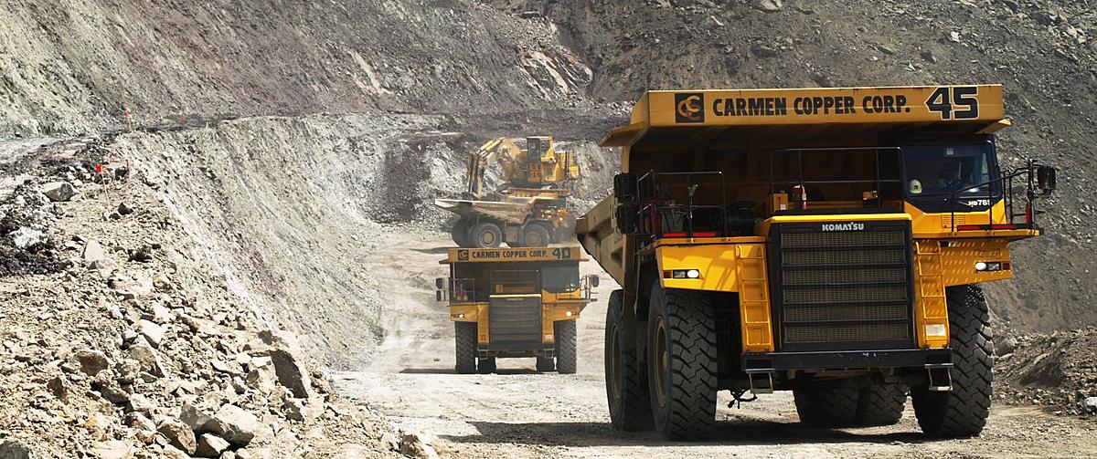
Mining
Imago
Key Features and Capabilities
-
Image Capture and Management:
- Image Capture: Efficiently capture high-quality images of core samples, chips, and other geological materials using standardized protocols. The software supports various imaging devices and methods.
- Centralized Image Repository: Store and manage all geoscientific imagery in a centralized, cloud-based repository. This ensures easy access, organization, and retrieval of images.
-
Image Integration:
- Integration with Geological Data: Link images directly with geological data such as drill hole logs, assays, and geological interpretations. This integration facilitates a comprehensive understanding of the subsurface.
- Metadata Management: Automatically capture and manage metadata associated with each image, including location, depth, date, and other relevant details.
-
Visualization and Analysis:
- Advanced Visualization Tools: Visualize and analyze images using advanced tools that allow zooming, panning, and annotating directly on the images. This helps in detailed examination and interpretation of geological features.
- Comparative Analysis: Compare multiple images side-by-side to identify patterns, anomalies, and correlations across different samples or depths.
-
Collaboration and Sharing:
- Real-Time Collaboration: Share images and interpretations with team members in real-time, enhancing collaboration and collective decision-making. Users can comment and annotate images, facilitating clear communication.
- Accessible from Anywhere: As a cloud-based platform, Imago allows access to images and data from anywhere, ensuring that team members can collaborate regardless of their location.
-
Integration with Seequent Suite:
- Seamless Integration: Integrates seamlessly with other Seequent products such as Leapfrog Geo and Central, allowing users to incorporate image data into their geological models and workflows.
- Interoperability: Supports interoperability with third-party software, enabling users to utilize image data across different platforms and applications.
-
Automated Workflows:
- Automation: Automate repetitive tasks such as image cataloging, tagging, and linking with geological data. This reduces manual effort and increases efficiency.
- Batch Processing: Handle large volumes of images through batch processing capabilities, ensuring quick and efficient management of extensive image datasets.
-
Data Security and Backup:
- Secure Storage: Ensure the security of images and associated data through robust cloud storage solutions with data encryption and access controls.
- Backup and Recovery: Regular backups and data recovery options safeguard against data loss, ensuring the integrity and availability of critical geological imagery.