
AGS (Aarhus Geosoftware)
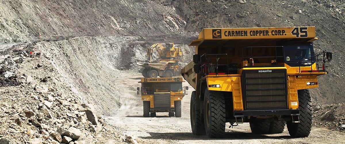
Mining
AGS (Aarhus Geosoftware)
Aarhus Geosoftware, part of Seequent, is a suite of software tools specifically designed for processing, analyzing, and visualizing geophysical data. It is particularly renowned for its applications in hydrogeophysics, mineral exploration, environmental studies, and infrastructure planning. Aarhus Geosoftware provides advanced solutions for handling various types of geophysical data, such as electromagnetic (EM), resistivity, and induced polarization (IP) data.
Key Products and Capabilities
-
Aarhus Workbench:
- Integrated Environment: Offers an integrated environment for processing and interpreting geophysical data. It supports multiple types of geophysical surveys and data sets.
- Data Management: Efficiently manages large volumes of geophysical data, ensuring accurate data storage, retrieval, and organization.
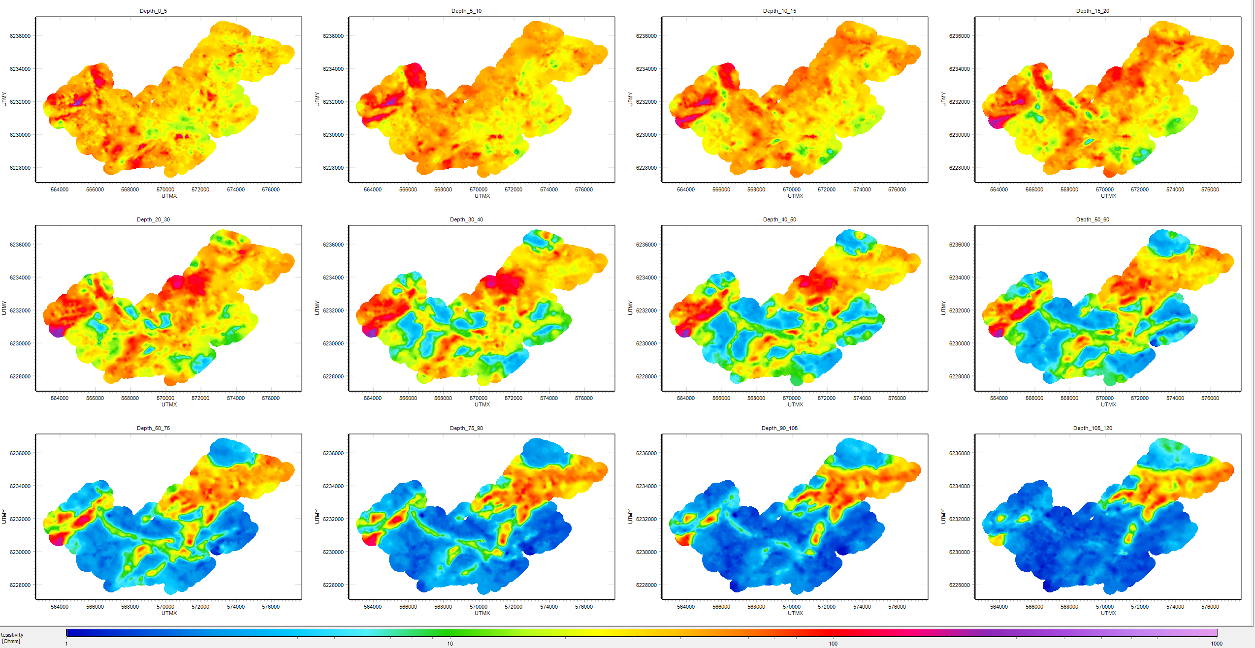
- Visualization: Provides powerful 2D and 3D visualization tools to help users understand subsurface conditions. It can display complex geophysical data in an intuitive manner.
- Inversion and Modeling: Performs advanced inversion and modeling of geophysical data to generate subsurface resistivity models. This helps in identifying and characterizing subsurface structures and properties.
-
Aarhus SPIA:
- Specialized Processing: Focuses on the processing and interpretation of SkyTEM data, a specific type of airborne transient electromagnetic data. SPIA helps in converting raw SkyTEM data into high-quality resistivity models.
- Inversion Tools: Includes sophisticated inversion algorithms that improve the resolution and accuracy of the resistivity models derived from SkyTEM surveys.
- Integration with Workbench: Seamlessly integrates with Aarhus Workbench for further data analysis and visualization.
Key Features
-
Data Import and Export:
- Multiple Formats: Supports various geophysical data formats, facilitating the import of data from different sources and the export of processed data for further use.
- Standardized Protocols: Ensures data compliance with industry standards, promoting interoperability and ease of data sharing.
-
Inversion and Interpretation:
- Robust Inversion Algorithms: Utilizes state-of-the-art inversion algorithms to convert geophysical data into detailed subsurface models. This helps in accurately characterizing geological formations.
- Automated Workflows: Automates routine processing tasks, allowing users to focus on interpretation and analysis.
-
Visualization:
- 3D Visualization: Provides advanced 3D visualization capabilities, enabling users to create detailed subsurface models and interpret complex geological structures.
- Interactive Tools: Offers interactive tools for exploring and analyzing data, including cross-sections, depth slices, and volume rendering.
-
Integration and Collaboration:
- Seamless Integration: Integrates with other Seequent products like Leapfrog for comprehensive geological modeling and analysis.
- Collaboration Tools: Facilitates collaboration among geoscientists, engineers, and other stakeholders through shared data environments and real-time data access.